Welcome to Weston Longville
CLICK FOR 2021 CENSUS DATAIntroduction
The Parish of Weston Longville covers an area of just under 3,000 acres and the Parish boundary runs for 12 miles. The Parish is situated 8 miles west of Norwich and has a population of 327 people. It is primarily a rural area and the landscape contains a range of habitats: river, wetland, ponds, mixed deciduous woodland, conifer woods, pasture, species-rich hedgerows, cereal field margins, arable farmland, and green lanes. The land rises from the River Wensum valley to a height of 60 metres. However, the Parish also includes an industrial area on the north side of the A1067, and the turkey farm on what was the old airfield, now owned in part by Bernard Matthews. The Parish has a Village Hall, Church, a pub and a new Hall for All.
Parish Information
Parish statistics
Area |
1,124 hectares |
|---|---|
Population |
311 (2021) |
Density |
28 people/km2 |
Mean age |
44.2 |
Ward |
Great Witchingham |
District |
Broadland |
Postcodes |
NR9 |
ONS ID |
E04006258 |
Council
Contact details for Weston Longville Parish Council, including current councillors, precept data and election results.
Education
View educational establishments in Weston Longville Parish. Data includes OFSTED rating and current appointed governors.
Business
Business directory listing local businesses operating within Weston Longville Parish.
Planning
View recent planning applications submitted for Weston Longville Parish.
Property
Price paid data for all property sold in Weston Longville Parish since 2018. Includes average prices for each property type.
Heritage
Local heritage sites, historic churches, heritage pubs plus local heritage initiatives for Weston Longville Parish.
Local News
Hosted and licensed by South Norfolk Council
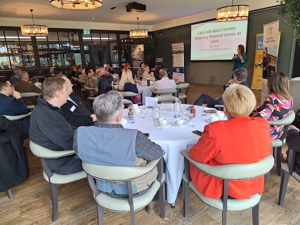
A Right Royal Business Breakfast – Broadland and South Norfolk
Published: 20th Mar 2024

Hosted and licensed by Eastern Daily Press
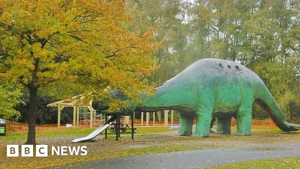
50-year-old bungalow to be demolished - as it doesn't fit with country estate's history
Published: 12th Feb 2020